Lakewood Infrastructure Monitoring
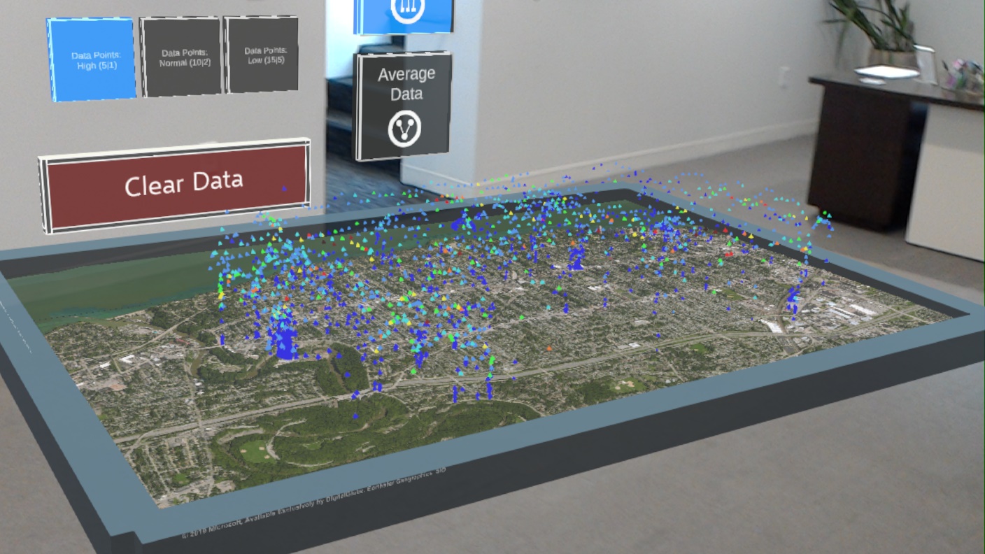
Our demonstration project in Lakewood is technology driven. City of Lakewood personnel began attending the IOTC’s Public Advisory Group and invited the IOTC to serve on Lakewood’s Resiliency Task Force. Faculty members at CWRU and CSU in Engineering and Urban Studies were interested in how sensors deployed on city vehicles might be used to improve real-time road infrastructure monitoring and a municipality’s operational efficiency. The IOTC connected the groups, and the City of Lakewood became a partner. The IOTC has deployed sensor systems (including vibration and ground-penetrating radar) on a City of Lakewood service vehicle and has collected data for months. The collected data was transformed through analytics to provide an indicator of pavement quality that was then overlaid on a Google map of the city, with subjective pavement quality scores determined by visual inspection. Ultimately, the IOTC created an up-to-date map of pavement quality across all roads in the city. This foundational work led directly to a joint CWRU-CSU award from the Greater Cleveland Regional Transit Authority (GCRTA) to investigate unexpected wheel wear on the Red Line and reduce operational expenses. Sensor and software systems similar to those used in the City of Lakewood are being deployed on the GCRTA Red Line to acquire and analyze data. The IOTC Lakewood project led to a $3.5 million proposal to the National Science Foundation (NSF) Smart and Connected Communities research funding opportunity. Our proposal is currently under review at NSF.